EXPLORE the Morne Trois Pitons National Park with this slideshow, check the location map and get all the facts and information below.
For slideshow description see right or scroll down (mobile). Click to view slideshow
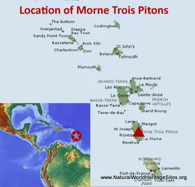
Location and Values: The Morne Trois Pitons National Park covers about 9% of the Caribbean island of Dominica and protects one of the last remaining tracts of undisturbed tropical forest in the region. Dominica is one of the three largest Windward Islands in the Caribbean Lesser Antilles. This chain of islands is formed from the emergent peaks of submerged volcanoes, and Morne Trois Pitons is the name of one of the highest in the chain. The park is centred on this 1,342m-high peak and includes four other volcanic peaks. It demonstrates a wealth of other volcanic features including the world’s second largest boiling lake (with churning, steaming waters at 95oC) and a Grand Soufriere (so-called ‘Valley of Desolation’) featuring fumeroles, coloured streams, bubbling mud pools and hot springs. From a biodiversity perspective the park experiences extreme altitudinal and micro-climatic gradients and protects a variety of rare Caribbean habitats including elfin/cloud forest, montane rainforest and thicket, lowland rainforest and secondary forest. Although these habitats are relatively species-poor, their biodiversity includes some important endemic species of plants and animals. These endemic species include the Imperial Parrot, Red-necked Parrot, an Anolis lizard and a tree frog.
Conservation Status and Prospects. According to IUCN’s Conservation Outlook Assessment (2020) the conservation status of the Morne Trois Pitons National Park is ‘good, with some concerns’. The IUCN report notes that severe weather events have had a devastating impact on forest habitats in the past, with 80% of the site’s forest ecosystems affected by the latest hurricane to hit the island, Hurricane Maria in 2017. The site’s two iconic species of endemic birds –the Imperial and Red-necked Parrots – were once common but are now highly threatened, partly due to habitat destruction resulting from such catastrophic weather events. The conservation values of the site are also affected to some extent by shifting agriculture and tourism activities in and around the park, as these are causing habitat loss and fragmentation as well as disturbing threatened and vulnerable wildlife. In the longer-term, the park’s volcanic features may be affected by possible future exploration and development of geothermal energy resources (outside the park). It is thought that climate change may also lead to an increased frequency and severity of hurricanes and other severe weather events, while the possibility of a volcanic eruption remains an ever-present threat.
Links:
Google Earth
Official UNESCO Site Details
IUCN Conservation Outlook
UNEP-WCMC Site Description
Birdlife IBA
Slideshow description
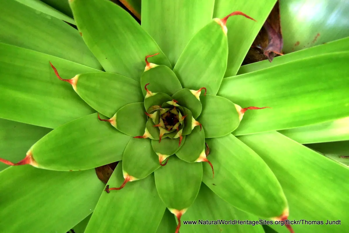
The slideshow ‘tells the story’ of the Morne Trois Pitons National Park with a portfolio of photos to illustrate the volcanic and landscape features of the park, its forests and wildlife. The slideshow begins along the trail to the Boeri Lake area, showing the lakes and forest-clad mountains, with some close-ups of typical plants (including bromeliads, orchids and tree ferns) and an Imperial Parrot (photo taken elsewhere). The park covers the upper part of Dominica’s watershed and there are numerous spectacular small waterfalls along the trails. The second part of the slideshow illustrates some of the volcanic features in the Valley of Desolation, where steamy vents are scattered across barren slopes, and the Boiling Lake (hardly visible through the steam!) can be visited.
Special thanks to Thomas Jundt for contributing most of the photos and to the following other Flickr photographers for their contributions to this slideshow: ewi-vicky, Lilian-Brue, Maureen61 and wolf4max.
Factfile
Website Categories:
Islands;
Earth Features
Area: 68 km2
Inscribed: 1997
UNESCO Criteria:
- Geological features (viii);
- Significant number of rare, endemic and/or endangered species (x)


